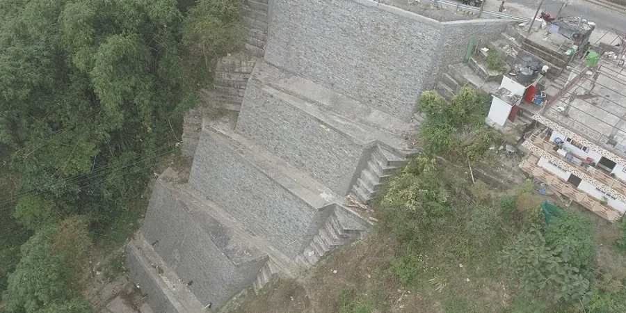
Vancouver's ground profile is a geotechnical puzzle shaped by the last glaciation. Beneath the city lies a complex sequence of glacial till, marine silts, and deltaic sands that control groundwater movement in ways that borehole logs alone cannot predict. At the False Creek flats, for instance, groundwater is often found within two to three meters of the surface, perched on low-permeability clays. A standard investigation will miss how water actually flows through fractures or sand lenses. The field permeability test, executed via Lefranc in soils or Lugeon in rock, measures hydraulic conductivity directly in the formation. This data determines dewatering requirements, predicts settlement rates, and feeds seepage models that keep deep excavations dry. When combined with a CPT test, the stratigraphy is resolved to the decimeter while permeability is quantified in situ, giving contractors a practical basis for pump sizing and cut-off wall design in Vancouver's saturated urban environment.
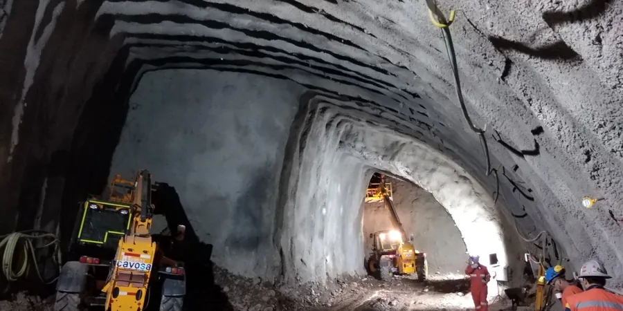
A single Lugeon test in fractured Vancouver bedrock can reveal flow paths that grain-size correlations miss entirely, redefining the dewatering strategy for a deep excavation.