GEOTECHNICALENGINEERING
VANCOUVER
HomeSlopes & WallsSlope stability analysis

Slope Stability Analysis in Vancouver: Preventing Landslide Failures with Local Geotechnical Expertise

Knowledgeable. Thorough. Resourceful.

LEARN MORE

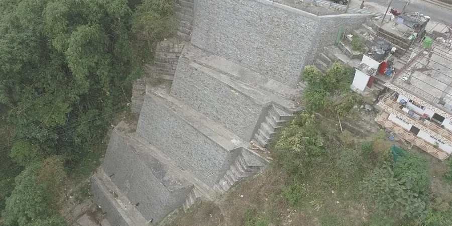
We’ve seen it too often. A contractor clears a lot in North Vancouver, cuts a steep slope, and waits for the dry season to build. Then come the November rains. The slope moves. The foundation cracks. The repair bill doubles the original geotech budget. That’s the cost of skipping a proper slope stability analysis in this city. Vancouver sits on a complex mix of glacial till, marine clay, and colluvium draped over bedrock that can be deceivingly shallow or dangerously deep. Add our six-month rainy season and occasional seismic jolts—the last big one off Vancouver Island was the 1946 magnitude-7.3 earthquake—and you have a recipe for slope failure.
We run every analysis through NBCC 2020 load combinations and factor in site-specific groundwater data. No shortcuts. When the stratigraphy is uncertain, we often pair the slope model with test pits to verify the soil profile and check for seepage zones that piezometers might miss.

In Vancouver, a slope stability analysis without site-specific groundwater data is just a geometry exercise. Water controls everything here.

Our service areas

Methodology and scope

The contrast between Vancouver’s dry summer slopes and saturated winter slopes is extreme. A cut that stands vertical in August can slump by December. This seasonal swing forces us to run two sets of analyses for every project—one for short-term drained conditions during construction, another for long-term steady-state seepage after a week of heavy rain.
We model the slope with limit equilibrium methods (Bishop, Spencer, Morgenstern-Price) and when the site is in a known seismic zone—which is most of the Lower Mainland—we add a pseudo-static coefficient from the NBCC seismic hazard maps. Pore pressure ratios come from our own field monitoring, not textbook guesses.
For slopes in loose saturated sands, especially near the Fraser River delta, we incorporate liquefaction potential into the stability model. A liquefaction assessment feeds directly into the post-earthquake factor of safety, and that number often governs the final slope design.
Slope Stability Analysis in Vancouver: Preventing Landslide Failures with Local Geotechnical Expertise
Technical reference — Vancouver

Local considerations

A few years back we reviewed a 10-story condo project on the slopes east of Boundary Road. The developer had cut a 12-meter-high temporary slope at 60 degrees, assuming the glacial till would hold. It did—until a three-day storm in January pushed the water table up two meters. The slope crept a few centimeters. That was enough to crack a neighboring retaining wall and trigger a stop-work order from the City.
The remediation involved soil nailing, a revised drainage plan, and a full slope stability re-analysis with the actual groundwater conditions we measured that winter. The delay cost months.
What we learned—and what we tell every client now—is that Vancouver slopes fail slowly first, then suddenly. The warning signs are there if you monitor pore pressures. Ignore them, and a 1.3 factor of safety can drop below 1.0 in a single storm cycle.

Need a geotechnical assessment?

Reply within 24h.

Email: contact@geotechnicalengineering.vip

Applicable standards

NBCC 2020 – Seismic hazard and load combinations, CSA A23.3 – Design of concrete structures for retaining elements, ASTM D2850 / D4767 – Triaxial compression for effective stress strength, FHWA-NHI-05 – Soil slope and embankment design

Technical parameters

ParameterTypical value
Analysis methodLimit equilibrium (LEM) – Bishop, Spencer, Morgenstern-Price
Seismic coefficient (kh)Per NBCC 2020 seismic hazard values for Vancouver (0.05–0.15 typical)
Groundwater modelingSteady-state seepage with phreatic surface from piezometer data
Soil strength inputEffective stress parameters (c’, φ’) from triaxial CIU/CD tests
Minimum FoS (static)1.5 (long-term), 1.3 (temporary cut)
Minimum FoS (seismic)1.1 (pseudo-static per NBCC)
SoftwareSlide2, SLOPE/W, or PLAXIS 2D for complex geometries

Frequently asked questions

When does the City of Vancouver require a slope stability analysis?

The Vancouver Building Bylaw triggers a geotechnical review whenever you’re excavating more than 1.2 meters deep on a slope steeper than 15%, or building within a mapped landslide hazard area. The North Shore and areas south of the Fraser River have specific overlay zones where a stamped slope stability report is mandatory before any building permit is issued.

What’s the typical cost range for a slope stability analysis in Vancouver?

For a standard residential lot on a moderate slope, the analysis—including field investigation, lab testing, and the engineering report—runs between CA$1,690 and CA$3,400. Larger commercial sites or slopes with complex groundwater conditions and seismic liquefaction concerns fall in the CA$4,200 to CA$6,280 range. Every project gets a fixed-fee proposal after we see the site.

How long does the analysis take from start to finish?

Fieldwork takes one to three days depending on access. Lab testing for triaxial strength parameters runs about two weeks for the full set of specimens. The modeling and report drafting take another week. In total, expect three to four weeks from mobilization to the final stamped report.

Do you analyze natural slopes or only engineered cut slopes?

Both. We analyze existing natural slopes for landslide hazard mapping, proposed cut slopes for new construction, and embankment fills for infrastructure projects. The methodology is the same—limit equilibrium with site-specific groundwater—but natural slopes often require a more detailed geomorphological assessment of prehistoric failure surfaces.

Location and service area

We serve projects across Vancouver and its metropolitan area.

View larger map